 The Iconoclastic Society
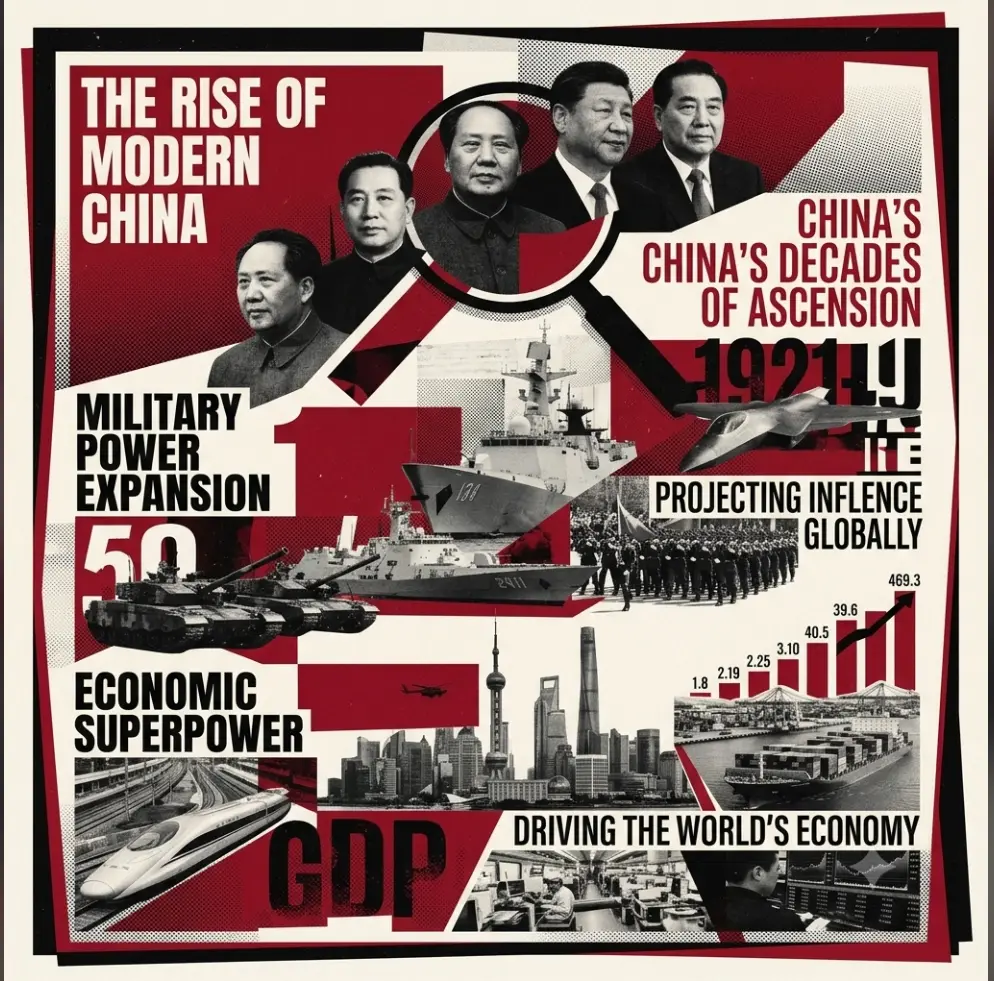
It all began in the year 2013 when Chinese President Xi Jinping, during his visit to Kazakhstan, announced the plan for the 'One Belt, One Road' initiative and consolidated it further after his visit to Indonesia. The words were historic, and the plans were set to become one of the greatest marvels of the 21st century.
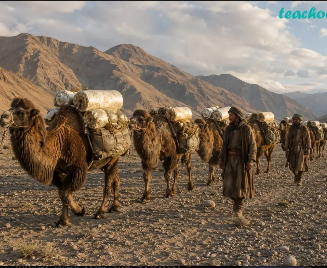
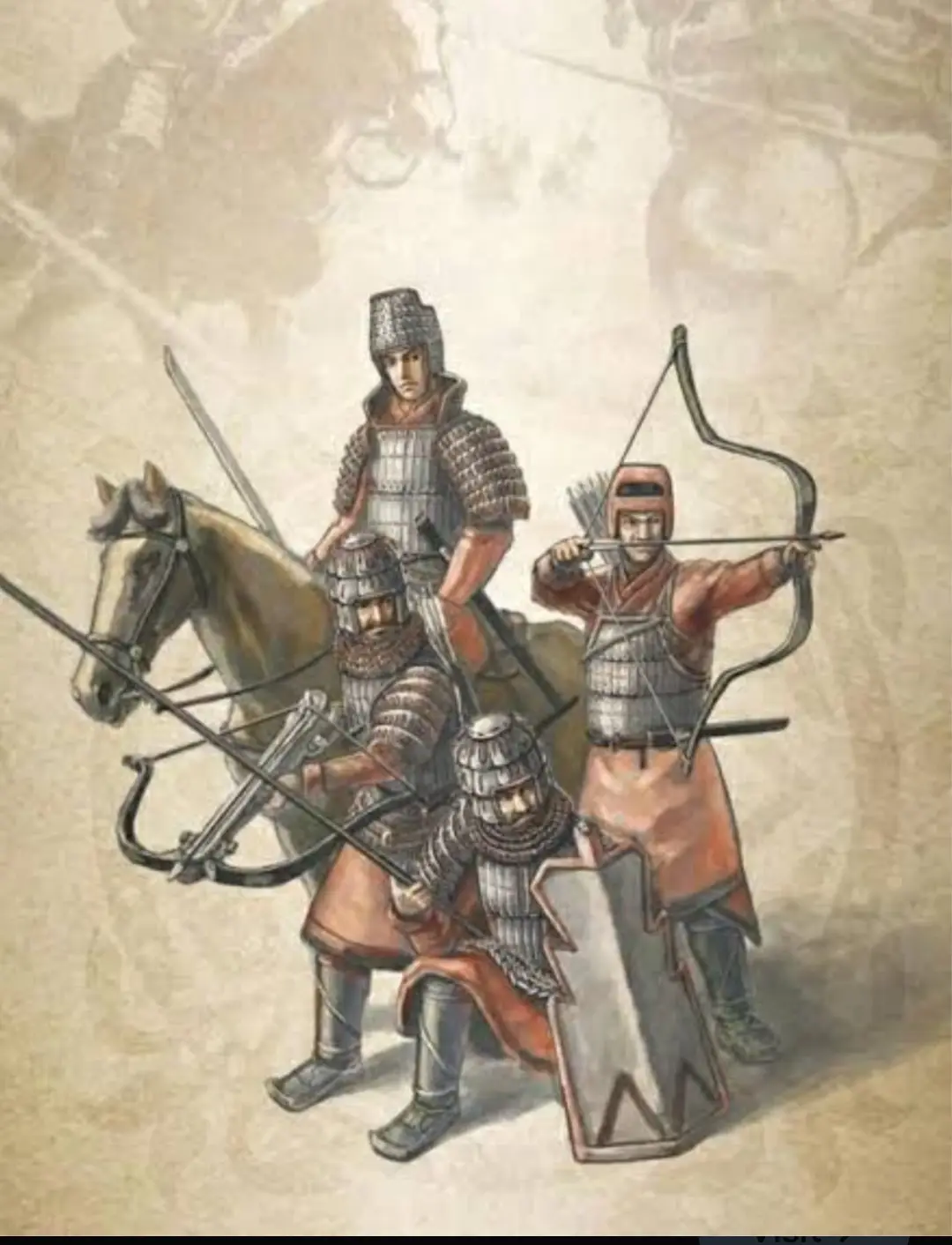
It was about reviving the Ancient Silk Route, which began 1,600 years ago during the reign of the Han dynasty in 130 AD and lasted until 1453 AD when the Ottomans captured Constantinople (present-day Istanbul). Thereafter, all major trade routes linking Asia to the European populace saw a significant fall in traffic. Hence began the era of naval exploration, largely dominated by Europeans, which ultimately led to the colonisation of Asian territories. Nevertheless, it was clear that China wanted to revive its ancient glory and pull the center of economic gravity towards the Middle Kingdom (i.e., China itself).
It was rechristened as the 'BRI' (Belt and Road Initiative) in the year 2016, with the first global forum held in 2017.
This initiative has already been joined by 140+ countries across the globe, with expected investments exceeding $1 trillion.
The mega-project is expected to be completed by the year 2049, which will mark the 100th anniversary of the PRC's formation following the end of a bloody civil war between the Communists and the Nationalists.
The project is divided into two legs:
1. The 'Belt' – The ancient Silk Route via land that will connect all major trade hubs spanning across China, Central Asia, the Middle East, and Europe. It will be made possible through railways, highways, energy pipelines, and industrial parks.
2. The 'Road' – The 21st-century modern maritime route that will link all major port cities of the world across the South China Sea, Indian Ocean, Red Sea, and the Mediterranean.
The 'Belt' (land route) is further divided into six special economic corridors:
1. CPEC ( China-Pakistan Economic Corridor
2. New Eurasian Land Bridge
3. China-Mongolia-Russia Corridor
4. China-Central Asia-West Asia
5. China-Indo-China Peninsula
6. Bangladesh-China-India-Myanmar Route
§1The CPEC (China-Pakistan Economic Corridor)
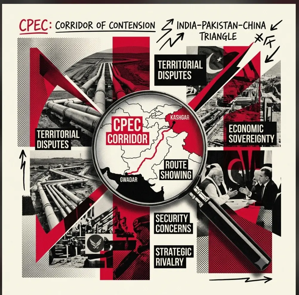
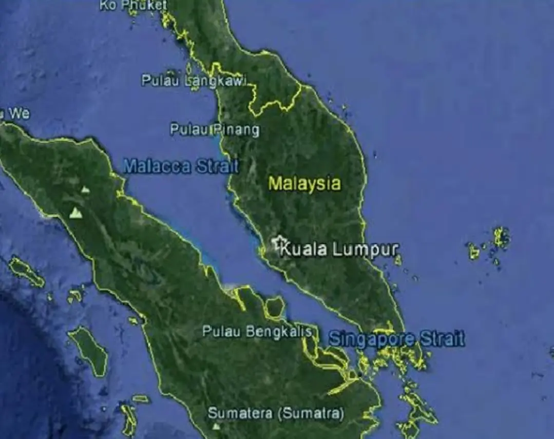
One of the most expensive legs of the BRI, with total costs evaluated at 65+ billion dollars. It represents a major breakthrough for China in tackling the 'Malacca Dilemma'—the strait through which 80% of China's crude oil imports and 60% of its total trade pass at the Malaysia, Singapore, and Indonesia junction point in the Indian Ocean region. Through CPEC, China gains direct access to the Arabian Sea to transport crude oil via land routes. It starts from Gwadar Port in Pakistan's Balochistan province and passes through Islamabad, Lahore, the disputed region of POJK in India, and ends in Xinjiang province, China.
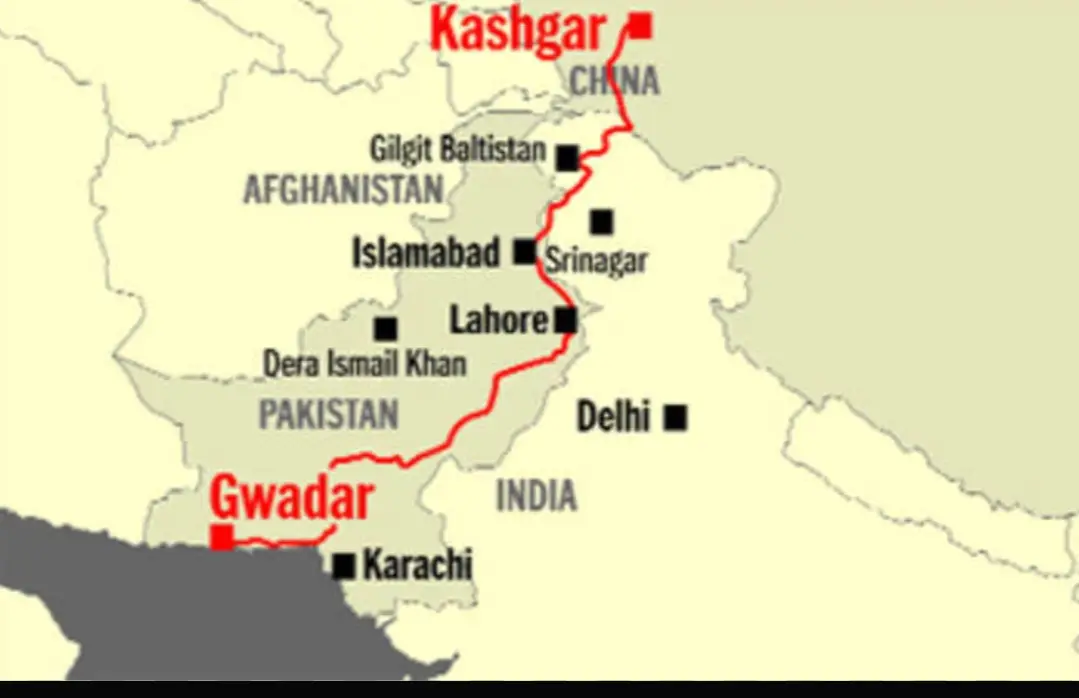
Once completed and functional, it will address China's geopolitical vulnerabilities by diversifying its strategic sources and trade routes.
§2NEW EURASIAN LAND BRIDGE
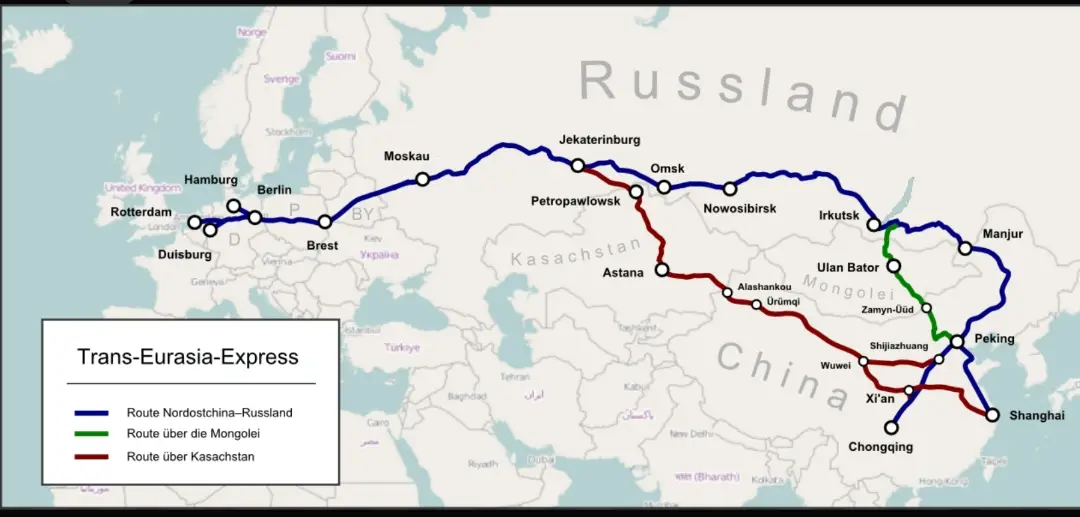
A high-speed railway route that will connect Western China with Western Europe. This fast-track route goes through the Xi'an province of China and Urumqi in Xinjiang, enters Russia, and connects Yekaterinburg and Moscow with Warsaw in Poland, Hamburg in Germany, and finally Rotterdam in the Netherlands. It bypasses dependency on the Suez Canal—another major choke point that accounts for a large chunk of world trade.
It is the longest leg of the BRI, spanning a total distance of 13,000 km.
§3China-Mongolia-Russia Corridor (CCMREC)
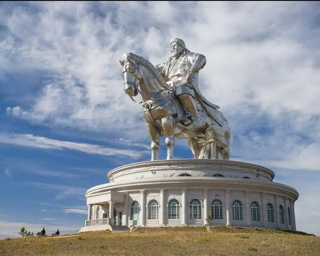
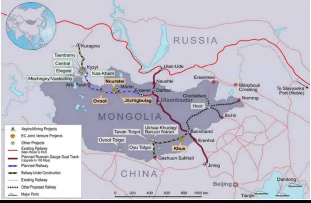
Unlike other routes that begin in less-developed regions of China like Xinjiang, this route starts directly from the capital city of Beijing, links to Ulaanbaatar in Mongolia, and reaches Moscow in Russia.
§4CICPEC (China-Indo-China Peninsula Economic Corridor)
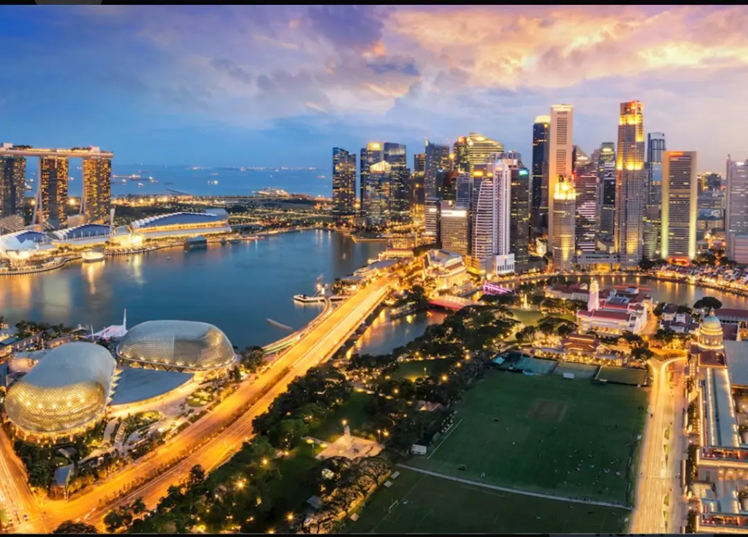
It begins in the eastern city of Kunming and penetrates deep into the Indo-China region via Hanoi (Vietnam), Vientiane (Laos), Phnom Penh (Cambodia), Bangkok (Thailand), Kuala Lumpur (Malaysia), and finally ends in Singapore.
§5CCAWEC (China-Central Asia-West Asia Corridor)

This route strategically bypasses the Suez Canal as well as American allies in the Middle East. It begins in Urumqi (Xinjiang), goes through Almaty and Tashkent in Uzbekistan, Bishkek in Kyrgyzstan, and Ashgabat in Turkmenistan, reaches the Caspian region of Baku, moves westward toward Tbilisi in Georgia, Ankara and Istanbul in Turkey, and finally ends in Prague (or the Netherlands).
§6BCIM (Bangladesh-China-India-Myanmar Corridor)
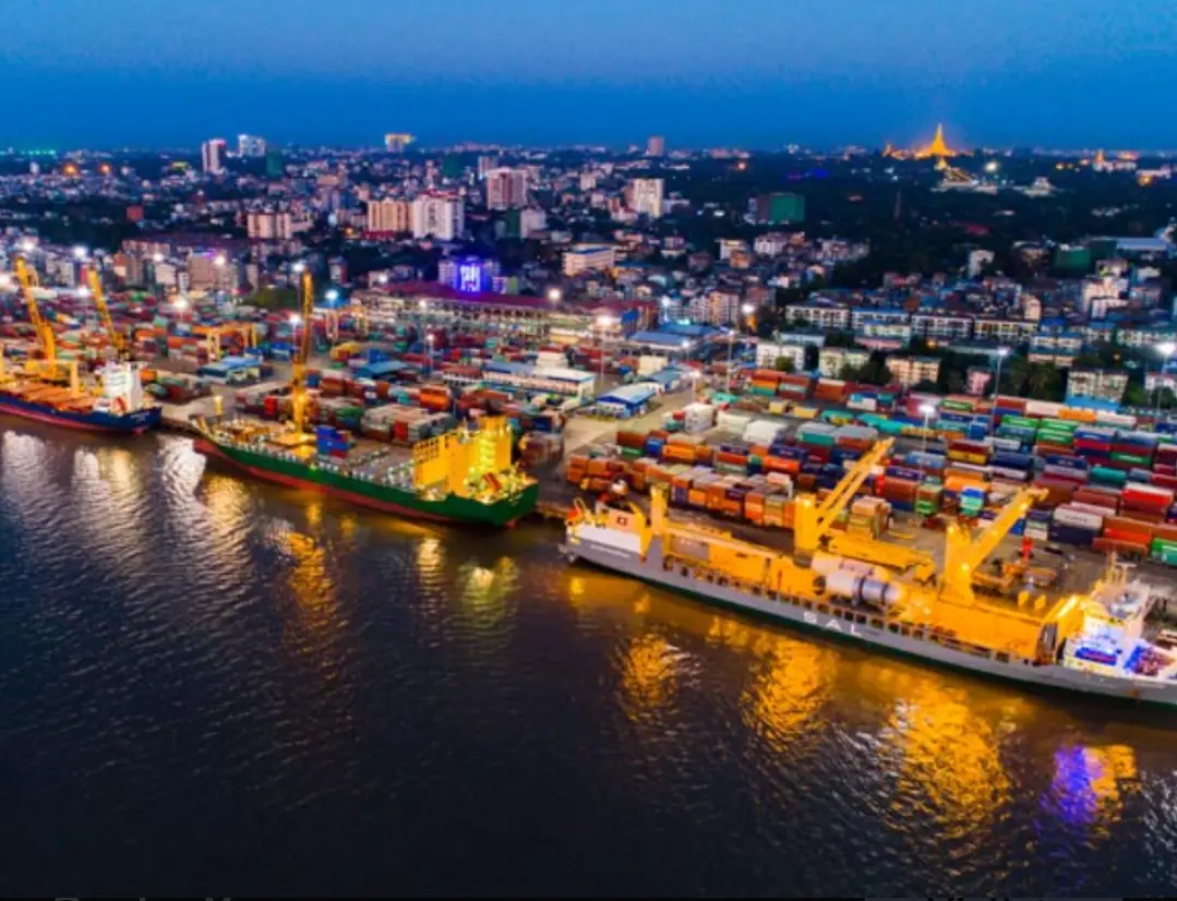
The last leg spreads across the South Asian region, ensuring the economic dependence of Myanmar and Bangladesh on China. It begins in Kunming and reaches Mandalay and Yangon in Myanmar, cutting through the Yunnan-Guizhou Plateau and the Shan Hills. It later passes through Dhaka in Bangladesh and ends at the port city of Chittagong.
These six routes form the 'BELT' – reviving the ancient Silk Route.
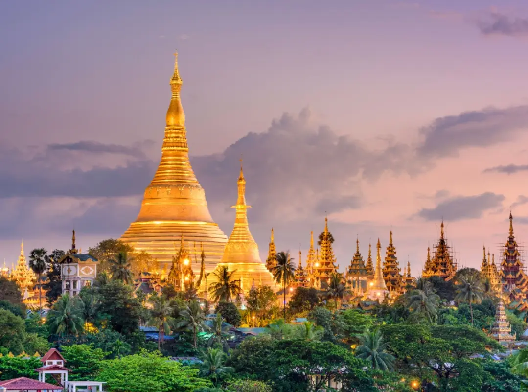
§7The New 21st-Century Maritime 'Road'
This maritime route connects major water bodies across the world, spanning major port cities situated at sensitive choke points:
1. Gwadar Port – Arabian Sea
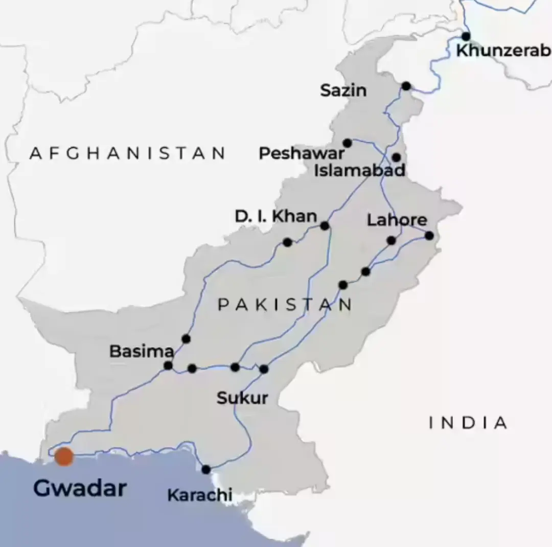
Provides direct access to the Arabian Sea, bypassing the Malacca Strait (the South-East choke point).
2. Piraeus (Greece) – Mediterranean Sea
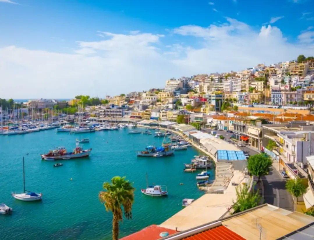
Directly controlled by COSCO, a state-owned enterprise of China. It operates the port in a dual-use fashion (a common assessment by NATO and the West). The port has already been turned into one of the largest shipping hubs in Europe.
3. Djibouti Port – Red Sea
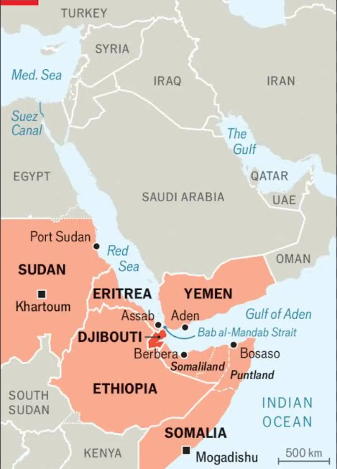
Situated at the Bab-el-Mandeb chokepoint, which directly connects the Red Sea to the Arabian Sea, leading onward to the Suez Canal and Europe. The Strait of Bab-el-Mandeb is a sensitive zone frequently plagued by instability due to attacks by Houthi rebel groups and ongoing skirmishes between Israel and West Asian countries.
A permanent naval base here ensures China maintains a strategic advantage over adversaries and protects its trade interests.
4. Hambantota – Indian Ocean Region
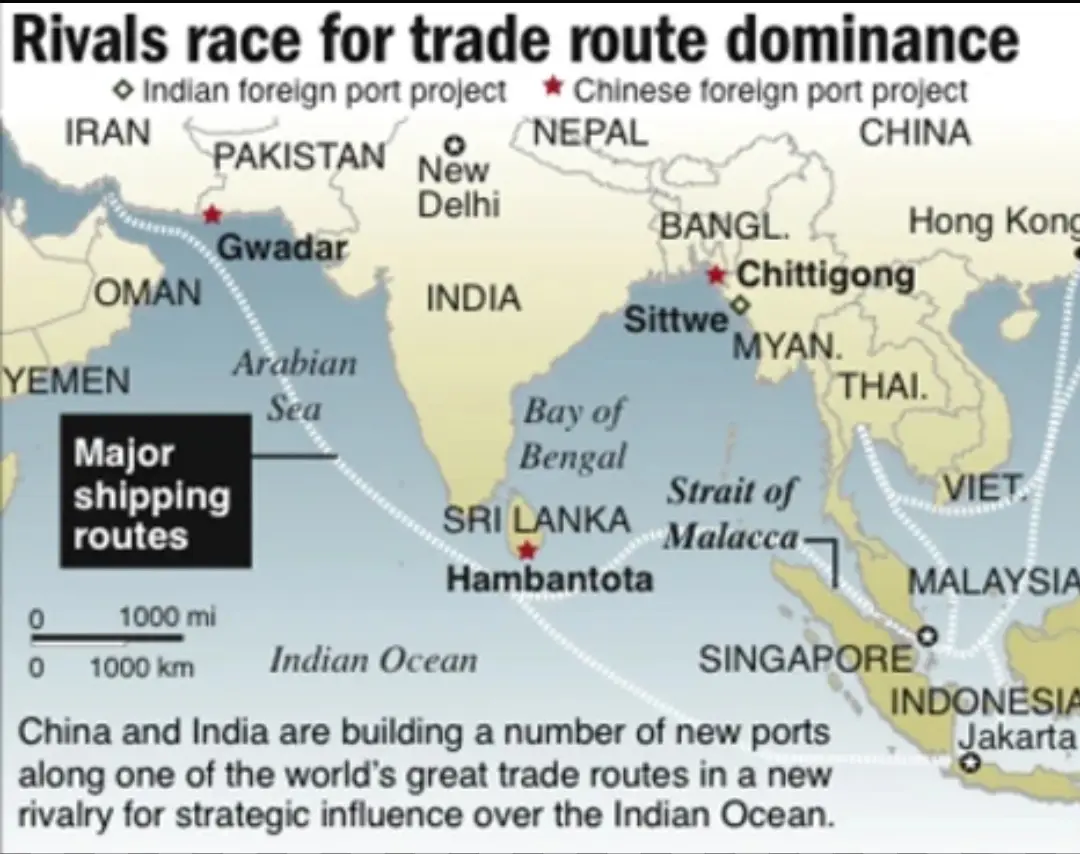
This port sits at a strategic crossroads of global trade between the West and the East, where 46% of global trade passes through the Indian Ocean region. The port has been leased to Chinese SOEs for 99 years during Sri Lanka's economic turmoil. This is a geopolitical nightmare for India, as it sits directly within its sphere of influence; India fears that potential military infrastructure built in Hambantota could compromise its national security.
5. Chittagong – Bay of Bengal
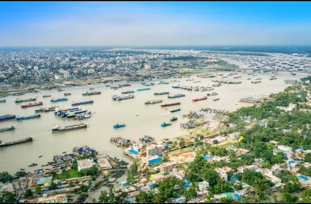
One of Asia's largest port cities, heavily influenced by Chinese trade and economic activity. A direct overland route connects Chittagong through Myanmar to Kunming in China.
In this first part, we examined the structural layout of the BRI's land and maritime routes along with their strategic importance.
In Part II, we will dive deeper into China's trade economy, official objectives, and the ulterior strategic motives behind this Chinese mega-project.
Jai Hind
To be continued